Location

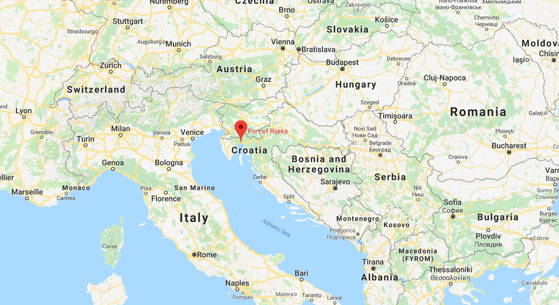
Rijeka ( 45°19.8' N - 14°25.4' E )


The port of Rijeka is situated in the northern Adriatic, in the Kvarner Gulf.

The advantage of north Adriatic ports over the ports in the North Sea or the Baltic results from the shortest maritime link between Europe and The Near, the Middle, and the Far East. Since the Adriatic sea is the most indented section of the European continent, the northern Adriatic is a part of Europe that enables the closest access to world seas to the central European countries.

The Port of Rijeka has an exceptional geo-traffic position. The draft debt higher than 16 m allows the access to the largest ships and it will be deepened to 20 m with the construction of new facilities.

You can check out the weather forecast by clicking on the link above, on the DHMZ website. Croatian Meteorological and Hydrological Service (DHMZ) is a government body in Croatia. It supports the economic and sustainable development of Croatia and assists in the protection of lives, goods and the environment by providing information on the following: weather, climate, hydrological and ecological phenomena and climate extremes with the aim of mitigating their effects in line with the World Meteorological Organisation recommendations and EU directives. DHMZ manages the meteorological and hydrological infrastructure, air quality monitoring infrastructure, as well as the national archives of meteorological, hydrological, air quality and other relevant data.